Meghalaya
Meghalaya, nestled in Northeast India, is known for its rolling hills, lush greenery, vibrant tribal culture, stunning waterfalls, and living root bridges, offering a perfect blend of nature and tradition.
Meghalaya (/ˌmeɪɡəˈleɪə, meɪˈɡɑːləjə/;[6][7] lit. “the abode of clouds”[8]) is a state in northeast India. Its capital is Shillong. Meghalaya was formed on 21 January 1972 by carving out two districts from the Assam: the United Khasi Hills and Jaintia Hills and the Garo Hills.[9] The estimated population of Meghalaya in 2014 was 3,211,474.[10] Meghalaya covers an area of approximately 22,429 square kilometres, with a length-to-breadth ratio of about 3:1.[11] The state is bound to the south by the Bangladeshi divisions of Mymensingh and Sylhet, to the west by the Bangladeshi division of Rangpur, and to the north and east by India’s State of Assam.
During the British rule of India, the British authorities nicknamed it the “Scotland of the East”.[12] English is the official language of Meghalaya. Unlike many Indian states, Meghalaya has historically followed a matrilineal system where the lineage and inheritance are traced through women; the youngest daughter inherits all wealth and she also takes care of her parents.[12]
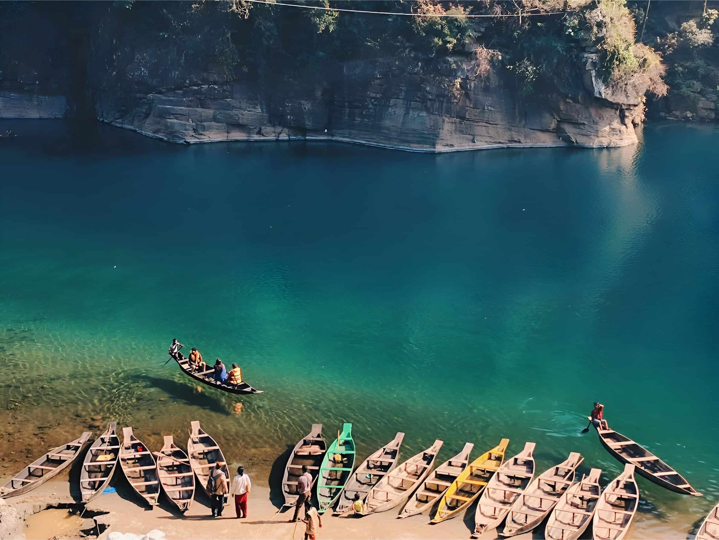
landscape photo of boats near body of water, Dawki, Meghalaya
The state is the wettest region of India, with the wettest areas in the southern Khasi Hills recording an average of 12,000 mm (470 in) of rain a year.[11] About 70 per cent of the state is forested.[13] The Meghalaya subtropical forests ecoregion encompasses the state; its mountain forests are distinct from the lowland tropical forests to the north and south. The forests are notable for their biodiversity of mammals, birds, and plants.
Meghalaya has a predominantly agrarian economy with a significant commercial forestry industry. The important crops are potatoes, rice, maize, pineapples, bananas, papayas, and spices. The service sector is made up of real estate and insurance companies. Meghalaya’s gross state domestic product for 2012 was estimated at ₹16,173 crore (US$1.9 billion) in current prices.[14] The state is geologically rich in minerals, but it has no significant industries.[12] The state has about 1,170 km (730 mi) of national highways. It is also a major logistical center for trade with Bangladesh.[11]
In July 2018, the International Commission on Stratigraphy divided the Holocene epoch into three,[15][16] with the late Holocene being called the Meghalayan stage/age,[17][18] since a speleothem in Mawmluh cave indicating a dramatic worldwide climate event around 2250 BCE had been chosen as the boundary stratotype.[19]
One of the biggest Central Institutes, the North Eastern Council Secretariat, is also situated in Shillong.
Content Credit: “Meghalaya” From Wikipedia, the free encyclopedia last edited on 10 May 2025, at 15:15 (UTC). https://en.wikipedia.org/wiki/Meghalaya
Photo Credit: “landscape photo of boats near body of water” by Mondakranta Saikia From Unsplash, The internet’s source for visuals. Powered by creators everywhere. https://unsplash.com/photos/landscape-photo-of-boats-near-body-of-water-Xqw7XgnvU3w